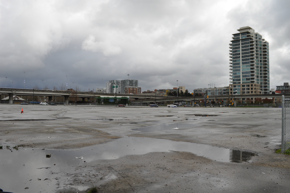
Vacant lands next to False Creek in downtown Vancouver. The city government’s plan will see the removal of two elevated roadways, the extension of a waterfront park and up to 20 new residential towers.
The first Georgia Street automobile viaduct was built in 1915 as a bridge over railways and industrial lands. The current Georgia and Dunsmuir Street viaducts are orphan remnants of a failed plan to run a freeway from Highway 1 into downtown Vancouver.
A 2011 study reported that the viaducts carry about 40,000 vehicles every day. However, Vancouver Council voted in 2015 to tear them down and tidy up the underlying street network. The viaducts are ugly, and they’re a waste of land: it’s estimated that their removal will enable the development of housing for as many as 10,000 people.
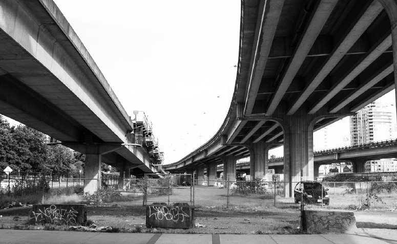
A photo of the Georgia and Dunsmuir road viaducts from the City’s January 2017 “Northeast False Creek Directions” document. An elevated SkyTrain guideway is to the right.
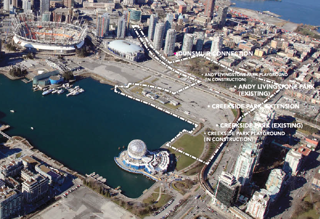
This land use concept is presented in the City’s March 2017 “Northeast False Creek Park Design” document
Public discussion around the City’s decision has focused on a “traffic chaos” scenario where unfortunate commuters will have no access to their downtown jobs. City Council is lucky, in this context, that many affected commuters come from outside Vancouver and have no real vote in the matter.
In any case, the traffic concern is overblown, at least as it relates directly to the viaducts. I’m writing as someone who commuted over the viaducts in past years.
“Carmaggedon” almost never happens, in Metro Vancouver or elsewhere. In the weeks before the 2010 Winter Olympics, Vancouver news media issued dire warnings about impending chaos related to Games events and street entertainment in the downtown. But as the 2011 study notes, the change in traffic volumes was barely detectable during the Olympics as motorists switched to transit. Motorists adjust; and they will need to continue to adjust, as tower development continues to the north, south and east of False Creek over the next decade.
A different debate in the viaduct zone will take place around the sharing of land between park expansion and residential construction. Under an agreement signed by the Social Credit government of B.C. in the 1980s, the lands around the viaducts belong to Concord Pacific, a property developer that has completed billions of dollars worth of projects further west. The land use concept posted above shows a generous area of public park; some local residents say it’s not enough, but Concord obviously has an interest in getting a financial return from its property.
The next step, according to the City of Vancouver website, is a final Northeast False Creek area plan, to be drafted in summer and fall of 2017. There is no date provided for demolition and construction.
Co-tourist Morna McLeod and I walked around the viaducts on a Saturday morning, stopping for a chat at the Concord Pacific information office and enjoying a fine brunch at The Union, a bar-restaurant on Union Street.
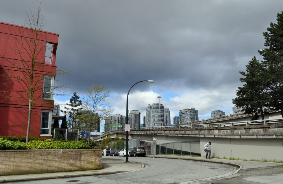
New housing at the Main Street ramp off the Georgia viaduct

Looking from near the Dunsmuir viaduct to the International Village, an early 2000s development built near the Chinatown-Stadium transit station

The site of a former Jimi Hendrix shrine, Union at Main. The musician’s grandmother lived and worked near this corner.
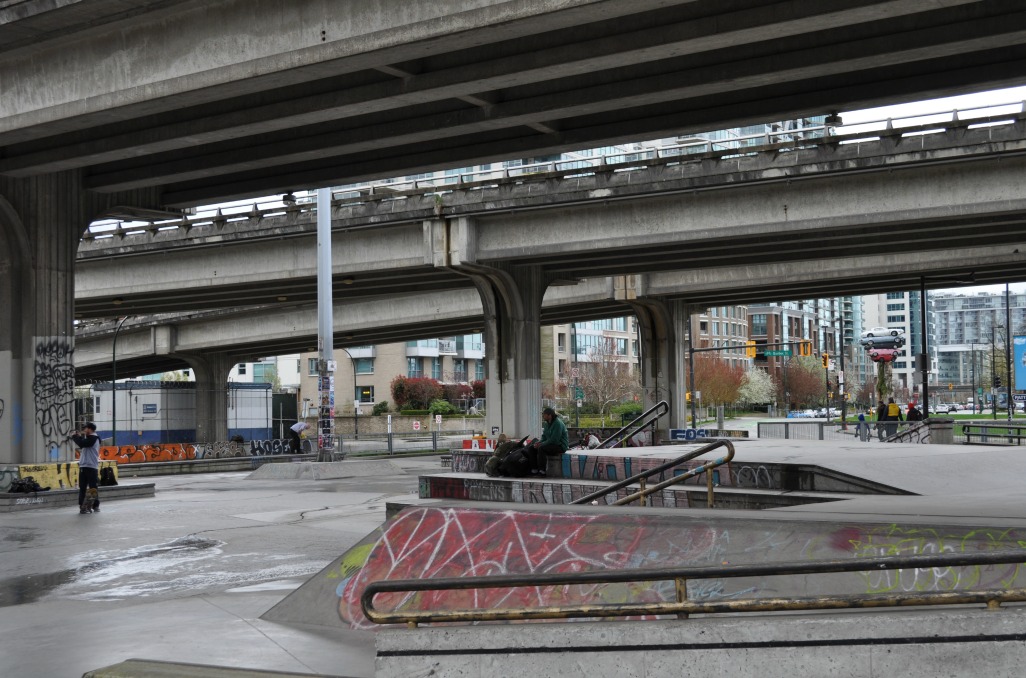
Part of the space under the viaducts functions as a combination skateboard facility and refuge for the homeless
