Port Moody’s shrinking, growing plan

There Goes the Neighbourhood: Under the Port Moody plan, a four-block section of this laneway (Spring Street) would become a pedestrian thoroughfare in a high-density housing zone.

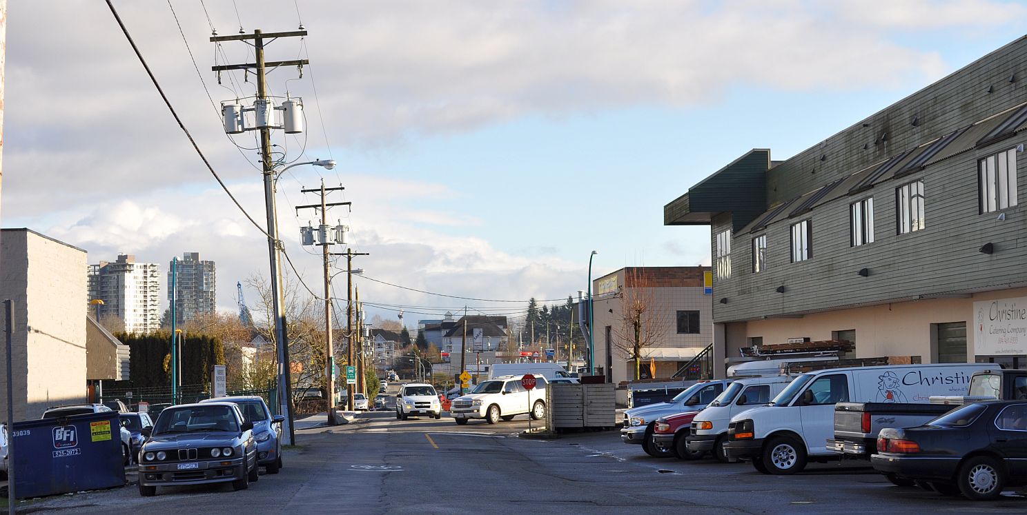
There goes the neighbourhood: under the Port Moody plan, a four-block section of this laneway (Spring Street) would become a pedestrian thoroughfare in a high-density housing zone.

Port Moody City Council is curbing its appetite for urban growth after the introduction last year of a bold plan to prepare for the opening of rapid transit.

This matters because Port Moody has taken an innovative approach to substance and process during its current planning cycle, and the choices made in this Metro Vancouver city will affect choices that are made elsewhere in British Columbia. Continue reading

Port Moody plans transformation to greet Evergreen Line

A concept view of the future approach to the Clarke Road/Barnet Highway intersection, arriving from Vancouver on the Barnet. From the City of Port Moody draft OCP, March 2013

A concept view of the future approach to the Clarke Road/Barnet Highway intersection, arriving from Vancouver on the Barnet. From the City of Port Moody draft OCP, March 2013

The City of Port Moody, a part of Metro Vancouver, has unveiled a draft Official Community Plan that would enable densification or superdensification along the new Evergreen rapid transit line, on track for completion in 2016.

The updated Community Plan, commissioned by City Council in early 2012, shows that Port Moody’s population grew from 18,000 in 1991 to 34,000 in 2011. Part of that growth anticipated the arrival of rapid transit with the creation of a pair of trendyish tower-dominated neighbourhoods, NewPort Village and its clone. The TriCity News reports  that the proposed planning changes could help push the local population to 60,000. The paper’s un-named reporter appears to support the plan. Continue reading