Missing the boat in Queensborough

New Westminster Quay seen from Queensborough

New Westminster Quay seen from Queensborough

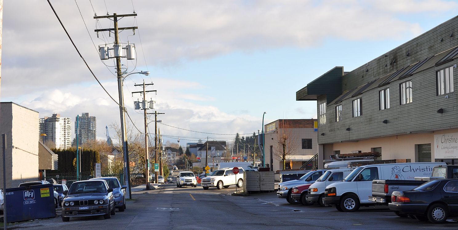
Queensborough lies south of an elevated section of B.C. Highway 91A. From the driver’s perspective, it looks like a jumble of townhomes built on leftover land.

Vintage-style housing, probably mid-'90s, South Dyke Road

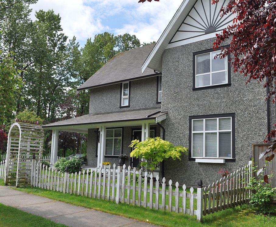
Vintage-style housing, probably mid-1990s, South Dyke Road

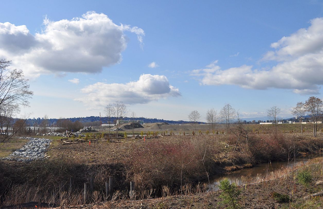
Viewed more closely, the neighbourhood is pretty in spots,  with dramatic waterfront views of mainland New West. My co-tourist Fred Armstrong was pleased with his photos of river and clouds. Queensborough is a fragment of the City of New Westminster located on Lulu Island, with a long industrial history that has left a working railroad running down its main street. Continue reading

“This is your next Metrotown”

The Surrey Central tower, housing SFU operations and the Fraser Health head office, seen from Holland Park

The Surrey Central tower, housing SFU operations and the Fraser Health head office, seen from Holland Park


Dianne Watts, the mayor of the City of Surrey since 2005, has brought a level of logic and discipline to her job that was lacking under her predecessor.

Residential towers on King George Boulevard, seen from Holland Park

Residential towers on King George Boulevard, seen from Holland Park

It’s interesting, then, to consider the logic behind Surrey Central, perhaps Ms. Watts’ pet project.  This burgeoning development combines civic functions, commercial expansion and residential towers, organized around the Surrey Central and King George rapid transit stations. Built in the middle of a neighbourhood that has struggled with crime and social issues, Surrey Central goes beyond the standard suburban facelift. It’s an attempt to build a commercial, civic and cultural hub worthy of a Great City. Continue reading

Coquitlam’s waterfront plan


Looking across Como Creek to the proposed site of the Coquitlam waterfront village. The hillside in the left background is New Westminster.

Looking across Como Creek to the proposed site of the Coquitlam waterfront village. The hillside in the left background is New Westminster.

As it stretches along the south side of Highway 1, much of Coquitlam’s United Boulevard is zoned “Highway Retail Industrial.”

Furniture reducedThis loose designation has enabled the development of a sprawling big-box retail precinct. A City handout counts 18 large-scale furniture stores along United Boulevard, blending into the warehouse and fabricating shop uses that extend down to the Fraser River. [This document was taken out of circulation; as of 2016, the City website referred to a “multitude” of stores.] Continue reading

Port Moody’s shrinking, growing plan

There Goes the Neighbourhood: Under the Port Moody plan, a four-block section of this laneway (Spring Street) would become a pedestrian thoroughfare in a high-density housing zone.

There goes the neighbourhood: under the Port Moody plan, a four-block section of this laneway (Spring Street) would become a pedestrian thoroughfare in a high-density housing zone.

Port Moody City Council is curbing its appetite for urban growth after the introduction last year of a bold plan to prepare for the opening of rapid transit.

This matters because Port Moody has taken an innovative approach to substance and process during its current planning cycle, and the choices made in this Metro Vancouver city will affect choices that are made elsewhere in British Columbia. Continue reading