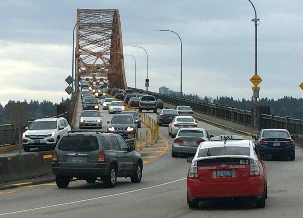
Pattullo Bridge, Saturday afternoon

New Westminster within the region, from the New West Master Transportation Plan
New Westminster is at the crossroads of Metro Vancouver, with commuter traffic and industrial truck traffic pouring through from all directions.
The city government’s 2014 Master Transportation Plan reports 75,000 vehicles per day on the Pattullo crossing of the Fraser River, and 80,000 on the Queensborough crossing. This compares with fewer than 63,000 on the Lions Gate Bridge and fewer than 45,000 at the north end of the Massey Tunnel (provincial estimates for the same year.) Continue reading