Surrey Central — Retrofitting or replacement?

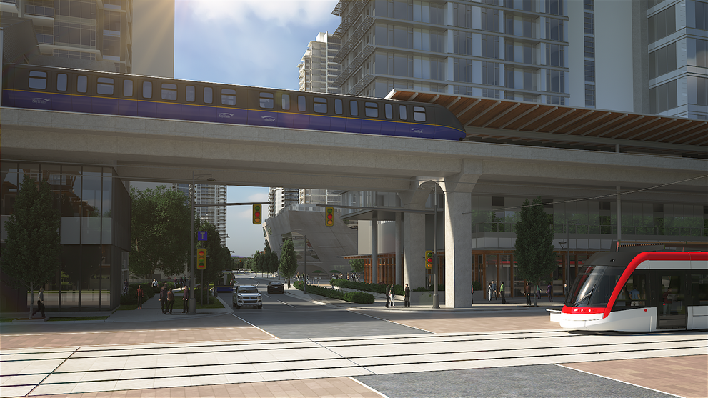
Rendering from the 2017 Surrey City Centre Plan, a fantasy perspective showing library (middle background), SkyTrain line, future light rail line and new towers

About 10 years ago, the term “Retrofitting Suburbia” came to describe the art or science of converting automobile-dependent sprawl into liveable urban landscape.

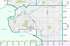
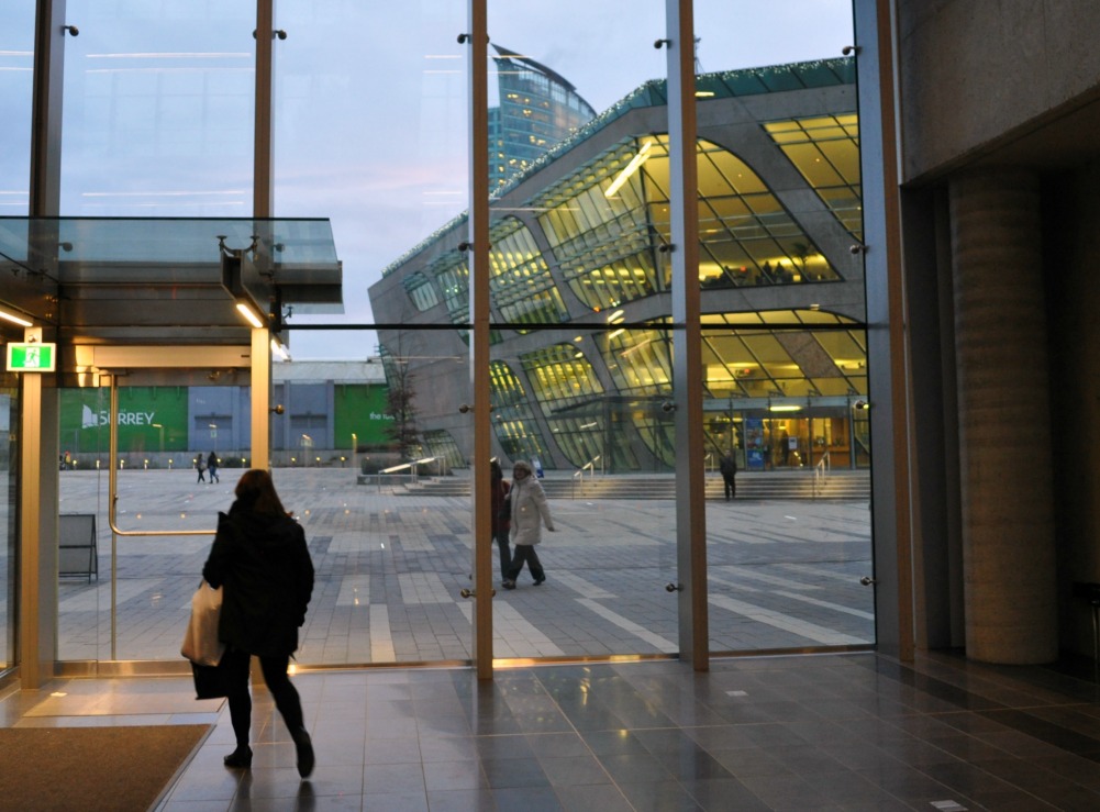
Coincidentally or not, it’s about 10 years since then-Mayor Dianne Watts announced her vision of a City of Surrey downtown, a focus for Surrey’s hodge-podge of malls and paved-over farmland. Simon Fraser University and the Fraser Health Authority had just moved to a new Surrey Central tower close to rapid transit; the City has since add a civic plaza with a City Hall. Residential and business towers are springing up close by. Continue reading

Semiahmoo: 2030?

A 2008 proposal for the Semiahmoo core, looking up 152 Street from 16 Ave. captured in early 2017 from the Amanat Architect website

A 2008 proposal for the Semiahmoo core, looking up 152 Street from 16 Avenue. This rendering was captured in early 2017 from the Amanat Architect website

The City of Surrey’s 2014 official plan contemplates a city of 300 square kilometres organized around a city centre, intended to rival downtown Vancouver as it grows up, and five large-scale town centres.

Semiahmoo Town Centre within South Surrey, 2014 city plan

The Semiahmoo Town Centre within South Surrey

Each town centre is supposed to act as “the distinctive social, cultural commercial centre for its community… Support transit-oriented development…and build complete, walkable and green neighbourhoods.”  A successful town centre offers housing choice, walkable services, business and employment opportunities, and frequent transit. Continue reading

Light rail for Surrey?

Library and civic plaza seen from Surrey City Hal

Library and civic plaza seen from Surrey City Hall

Surrey’s trimmed-down, still iffy light rail project is entering the preliminary design stage. We may get details in 2018, if things go well, on how the new train line and its stations will affect streets, sidewalks and private properties.

This project is a key component in local government’s drive to knit Surrey’s pattern of subdivisions into an urban unit. The new trains would link Newton and Guildford, both sizable retail and employment zones, with City Centre and nearby Innovation Row. Surrey’s population is approaching half a million, and the 10-year-old City Centre initiative is creating a new hub for jobs and investment with the potential to rival downtown Vancouver  The LRT project is also intended to spark mixed-use development in neighbourhoods along the way. Continue reading

The Newton town centre

72nd Avenue near the site of the historic Newton farm

72 Avenue near the site of the historic Newton farm (established 1886, now vanished)

As it turns out, there’s an urban village at the Newton Town Centre in Surrey, British Columbia. Finding it requires selective vision, looking past monster roadways, big box stores and industrial yards; but in its lopsided way, the village offers housing choices, commercial services, transit, and walking trails, straddling the former main highway between Vancouver and the USA.

Areas of Surrey, from the official community plan section of the City website

Areas of Surrey, from the official community plan section of the City website

Newton is one of seven planning areas in the vast city of Surrey. The municipality covers 316 square kilometres, an area as big as Vancouver, Burnaby and Richmond combined — or four times the size of the island of Manhattan, if that’s clearer. Google Maps estimates that it might take you three hours time to cross Newton diagonally on foot. It’s too big to be a neighbourhood — a borough, perhaps — but there are broad demographic tendencies. Surrey’s fact sheet on languages reports that Punjabi is the most common mother tongue in Newton, ahead of English; in the Cloverdale area to the east, the English-to-Punjabi ratio is 10 to 1. Continue reading