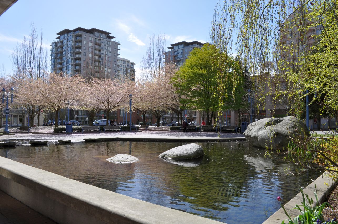
Behind the Public Market, Brighouse Village, Richmond City Centre
We launched the Fraseropolis Urban Villages project in March 2012, six months after opening this site. Our amateur definition of “urban village” focuses on places where residents can find everyday services, transit and housing choice within easy walking distance. Not everyone wants to live in a village; but a successful village attracts enough people that business and community life flourish.

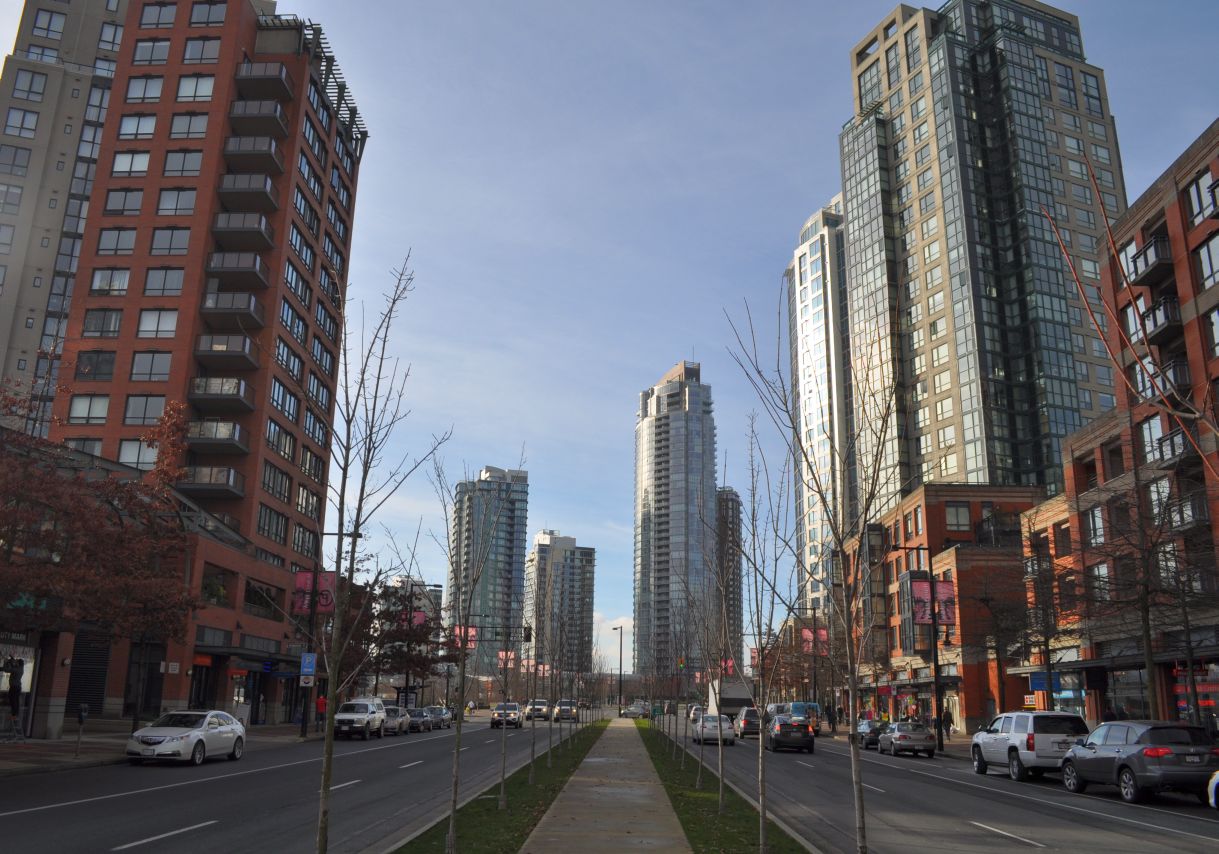
Richmond City Centre
The City of Richmond, British Columbia, in its 2009 whopper of a City Centre Area Plan, looks at the urban village in an expanded way. The Plan describes villages as a key part of the City’s City Centre development strategy, and identifies six of them. (“Candidate villages” might be a better name, since most of them exist only on the drawing board.) The Plan says that “‘Urban village’ is another name for the type of compact, walkable, transit-centred community encouraged by Transit-Oriented Development.” Page 1-10 lays out a grid of required or encouraged village features. Continue reading