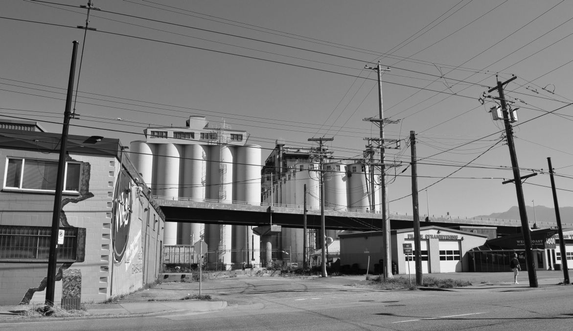
My niece recently left home and moved to a different part of the world. From counter-culture Commercial Drive, she made the six-kilometre trek to South Fraser Street and found an affordable rental apartment.
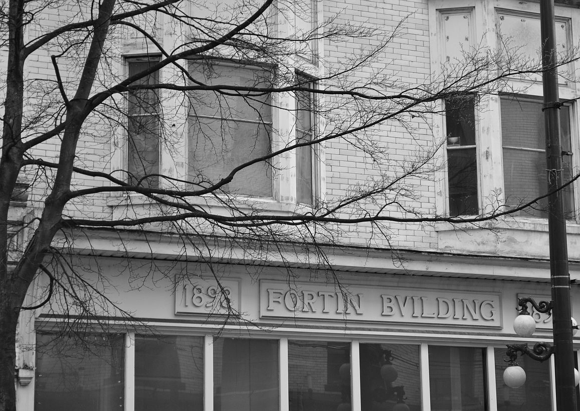
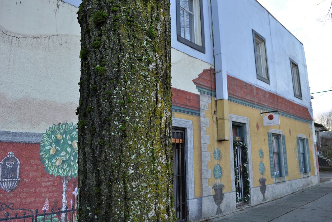
A rare example of side-street excitement, South Hill, Vancouver
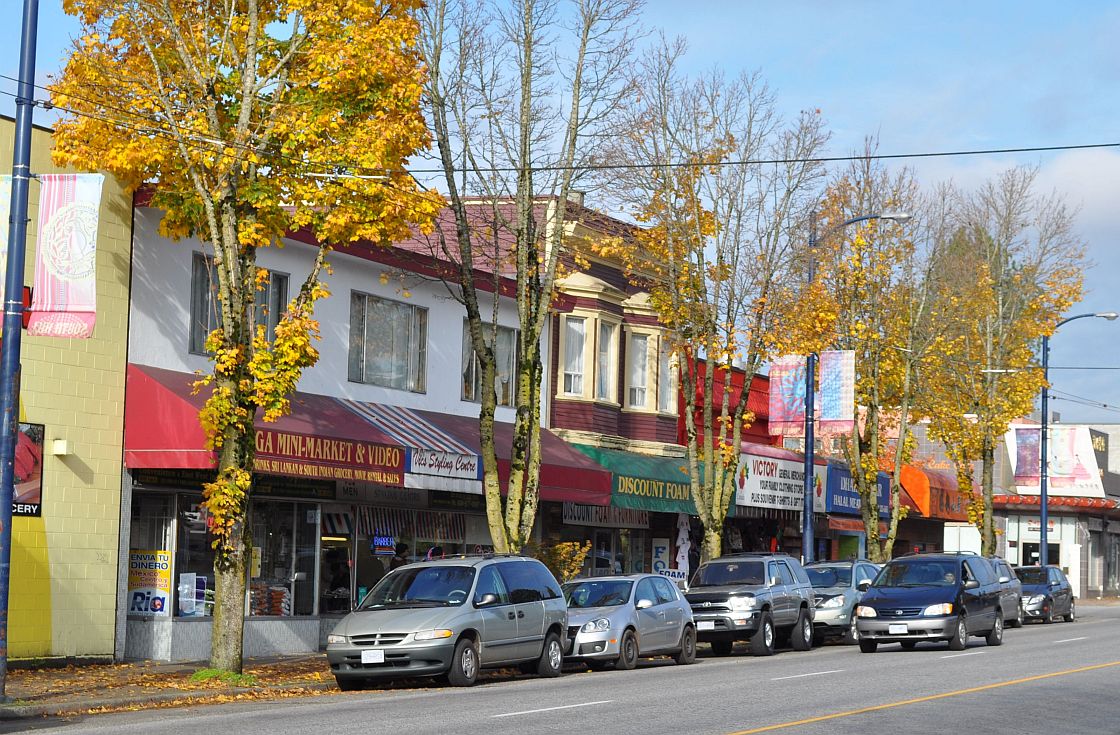
They say the resident mix is evolving, although there’s no influx of trendy cafes or retail stores at this stage. The South Fraser area is beyond walking distance from rapid transit; in Toronto, many such areas would be served by streetcars, but this is not Toronto. There’s a standard Vancouver high street, heavy on ethnic butcher shops. There’s a low-rise condo project under construction; limited multi-unit housing on the side streets, with a couple of seniors complexes a bit further away; and rental mini-houses popping up in the laneways, Kitsilano-style. The park on 41st Avenue is the home of little league baseball in Vancouver. Continue reading